Our Services
Geospatial Engineering Services tailored to your BIM, GIS, LiDAR, drone survey, and mapping project requirements
Core Engineering Services
Our Geospatial Engineering Services support accurate planning, design, mapping, and project execution across construction, infrastructure, utilities, and smart city projects.
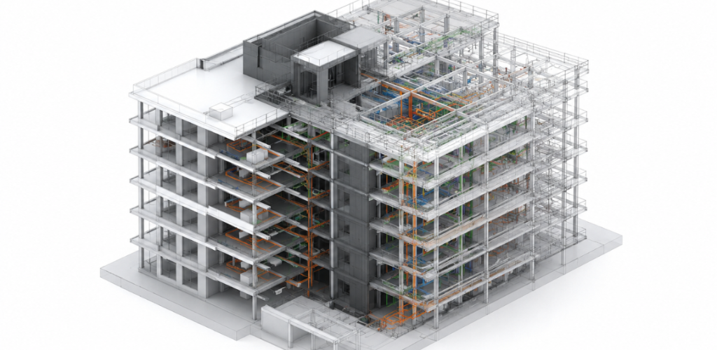
BIM Modeling
Creation of intelligent 3D models for architectural, structural, and MEP disciplines, facilitating better collaboration and project outcomes.
Improved project collaboration, reduced errors and rework, significant cost savings, enhanced project visualization, and streamlined facility management.
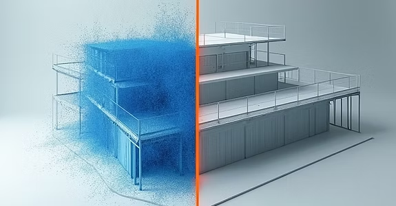
Scan to BIM
Conversion of high-accuracy point cloud data, obtained from laser scanning, into intelligent and editable Building Information Models (BIM).
Highly accurate as-built documentation, significant reduction in design errors and rework, accelerated project timelines, and improved planning for renovations and retrofits.
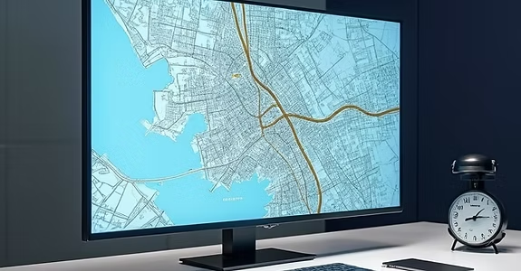
GIS Mapping
Development and analysis of Geographic Information Systems (GIS) to visualize, manage, and interpret spatial data for informed decision-making.
Enhanced decision-making capabilities, optimized resource management, improved urban planning, effective environmental monitoring, and efficient asset tracking.
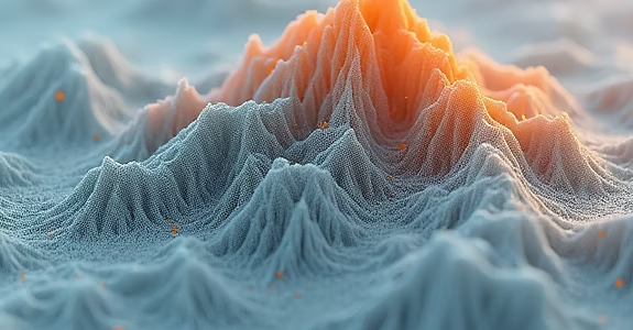
LiDAR Processing
Advanced processing and analysis of LiDAR (Light Detection and Ranging) point cloud data to extract precise 3D information for various applications.
Acquisition of high-accuracy elevation data, detailed terrain and surface analysis, precise volumetric measurements, and robust support for infrastructure planning.
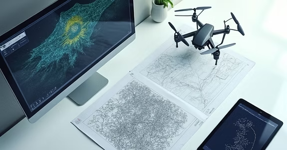
Drone Survey
Efficient and cost-effective aerial data acquisition using Unmanned Aerial Vehicles (UAVs) for surveying, mapping, and inspection purposes.
Cost-effective and rapid data collection, quick deployment in challenging terrains, enhanced safety by reducing human exposure, and highly detailed visual data.
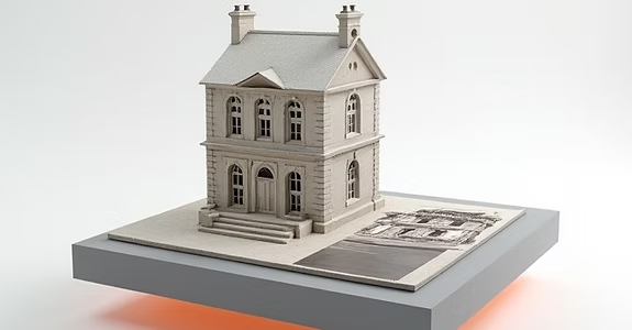
Photogrammetry
Creation of accurate 2D and 3D models from overlapping photographs, widely used for mapping, measurement, and visualization.
Accurate 3D representations of objects and sites, cost-effective mapping solutions, historical documentation, visual inspection capabilities, and assets for virtual reality.
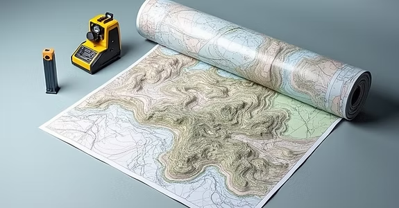
Topographic Mapping
Detailed mapping of natural and man-made features on the Earth’s surface, including precise elevation data and contour lines.
Essential for engineering design, land development projects, urban planning, environmental studies, and accurate representation of site conditions.

Mobile Mapping
Rapid and efficient data collection using vehicle-mounted sensors (LiDAR, cameras, GPS) for large-scale mapping and asset management.
Fast data capture over extensive areas, minimal traffic disruption, comprehensive asset management, and detailed infrastructure modeling for smart cities.
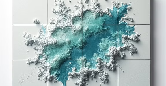
Orthophoto Generation
Creation of geometrically corrected aerial or satellite images, free of distortions, suitable for accurate measurements and mapping.
Provides accurate base maps for planning and design, enables precise measurements, offers clear visual context for projects, and supports environmental monitoring.

HD Mapping
Development of highly detailed and accurate maps crucial for autonomous vehicles and advanced driver-assistance systems (ADAS).
Enables safe and reliable autonomous driving, improves navigation accuracy, enhances ADAS functionality, and supports future-proof infrastructure development.
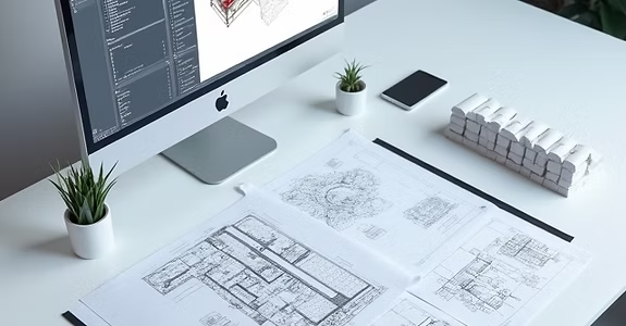
CAD Services
Comprehensive Computer-Aided Design (CAD) drafting and 3D modeling services for various engineering and architectural disciplines.
Ensures accurate and precise designs, improves project documentation, accelerates design cycles, and provides cost-effective drafting solutions.
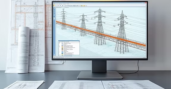
PLS-CADD Design & Drafting
Specialized engineering and drafting services utilizing PLS-CADD software for the design, analysis, and optimization of overhead power transmission lines.
Optimized power line designs, ensured compliance with safety and regulatory standards, accurate material take-offs, and efficient project delivery.
Smart City Solutions
Integration of advanced technologies and data analytics to enhance urban sustainability, efficiency, and livability for citizens.
Improved public services, significant reduction in energy consumption, enhanced traffic management, better environmental quality, and increased citizen engagement.
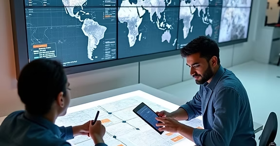
GIS Data Acquisition & Management
Comprehensive services for collecting, processing, and managing geospatial data from various sources to ensure accuracy and accessibility.
Improved data quality, streamlined data workflows, enhanced decision-making, and a reliable foundation for spatial analysis.
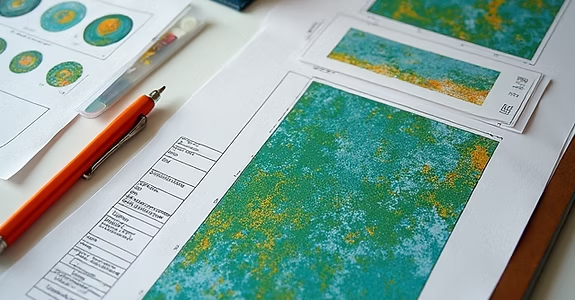
Remote Sensing & Image Analysis
Leveraging satellite and aerial imagery to extract valuable information for environmental monitoring, land use mapping, and change detection.
Cost-effective large-area monitoring, historical data analysis, early detection of environmental changes, and support for sustainable planning.
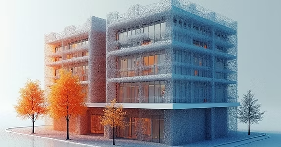
3D Laser Scanning & Reality Capture
High-precision 3D laser scanning to capture existing conditions of buildings, infrastructure, and sites, creating accurate point clouds for various applications.
Reduced field time, improved accuracy of as-built documentation, clash detection, progress monitoring, and enhanced design validation.
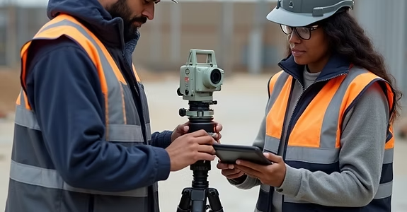
BIM Implementation & Consulting
Guiding organizations through the adoption and optimization of Building Information Modeling (BIM) workflows and technologies.
Increased project efficiency, improved collaboration, reduced errors and rework, better cost control, and enhanced project delivery.
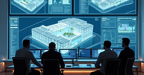
Digital Twin Development
Creating virtual replicas of physical assets, processes, or systems to monitor, analyze, and optimize their performance in real-time.
Proactive maintenance, optimized asset performance, improved operational efficiency, enhanced decision-making, and reduced downtime.
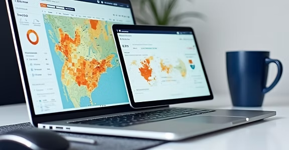
Geospatial Analytics & Insights
Transforming complex spatial data into actionable insights for strategic planning, market analysis, and resource allocation.
Data-driven decision-making, identification of spatial patterns, optimized resource deployment, and competitive advantage.
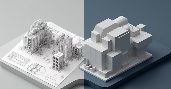
CAD to BIM Conversion
Converting legacy 2D CAD drawings and plans into intelligent 3D BIM models for improved project collaboration and data management.
Enhanced visualization, improved coordination, better data accessibility, support for facility management, and future-proofing of assets.
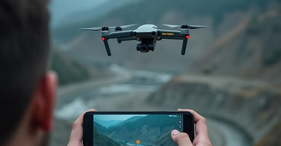
Drone Surveying & Mapping
Utilizing Unmanned Aerial Vehicles (UAVs) for rapid and cost-effective aerial data collection, generating high-resolution maps and 3D models.
Faster data collection, access to difficult terrains, increased safety, high accuracy, and reduced project costs compared to traditional methods.
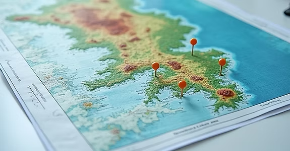
Environmental GIS Solutions
Applying GIS technology to address environmental challenges, including impact assessments, conservation planning, and pollution monitoring.
Informed environmental policy, effective resource management, compliance with regulations, and sustainable development practices.
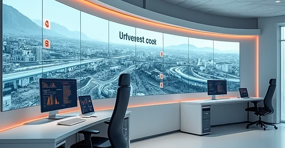
Infrastructure Asset Management (GIS-based)
Developing and implementing GIS-centric systems for managing and maintaining public and private infrastructure assets throughout their lifecycle.
Optimized asset performance, extended asset lifespan, reduced operational costs, improved emergency response, and better capital planning.

Spatial Database Design & Integration
Designing, building, and integrating robust spatial databases to efficiently store, manage, and retrieve geographic information.
Centralized data storage, improved data integrity, enhanced data sharing, scalable data infrastructure, and faster data access.
Specialized Services
Advanced capabilities for complex project requirements
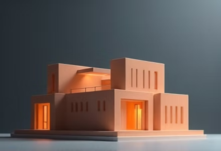
Scan-to-BIM
Transform laser scan data into accurate, detailed BIM models with our specialized scan-to-BIM services.

Drone Survey
Aerial data capture and processing for topographic surveys, site monitoring, and progress tracking.
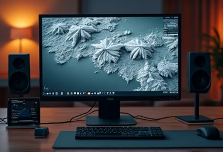
Photogrammetry
Create accurate 3D models and measurements from photographs for various engineering applications.
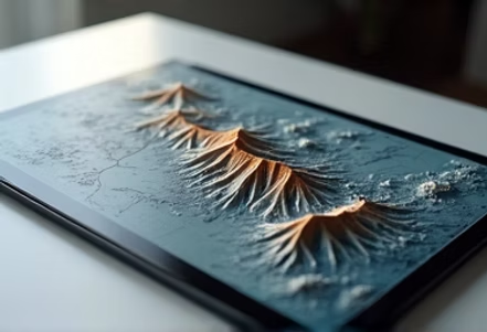
Topographic Mapping
Detailed topographic surveys and mapping services for infrastructure and construction projects.
Need a Custom Solution?
Contact us to discuss your specific project requirements