
Advanced spatial intelligence solutions including utility mapping, spatial databases, and web
GIS applications
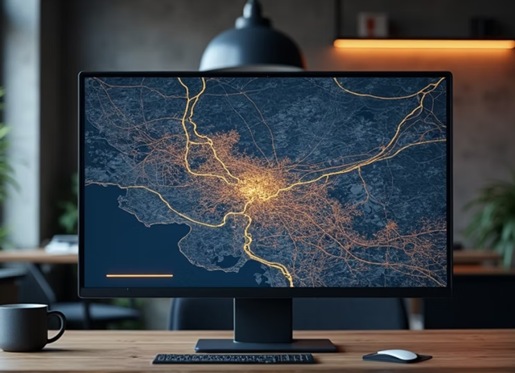
Our GIS mapping services provide comprehensive spatial data management and analysis solutions for infrastructure, utilities, and smart city applications.
We specialize in creating robust spatial databases, interactive web GIS platforms, and custom mapping solutions that enable data-driven decision-making.
Explore our related services such as LiDAR Processing Services, Photogrammetry, Scan-to-BIM Services, and Topographic Mapping Services to understand how Elucidate Technologies supports complete geospatial project workflows.
Systematic approach to spatial data management
Data collection and integration
Spatial database design
GIS analysis and modeling
Map production and visualization
Web GIS deployment
For more information about geographic information systems, you can also refer
to Esri GIS Resource
Global BIM, GIS & LiDAR engineering solutions provider. Precision mapping, digital engineering, and spatial intelligence for worldwide clients.
contact@elucidate.in
+91 9113598579
Bengaluru, Karnataka, India