
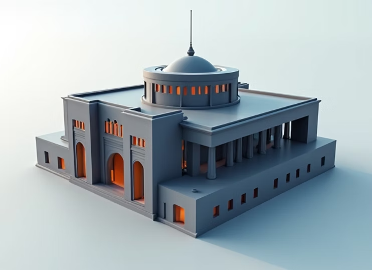
Create accurate 3D models and measurements from photographs for various engineering
applications
3D Reality Capture helps project teams document real site conditions with better accuracy and clarity. With 3D Reality Capture, engineers, architects, and construction teams can review existing structures, verify measurements, and reduce planning errors before execution.
Using advanced image processing algorithms and structure-from-motion techniques, we create high-quality 3D models suitable for engineering analysis, heritage preservation, and construction documentation.
From small objects to large infrastructure, our photogrammetry solutions provide cost-effective, accurate 3D data for diverse applications.
From photographs to 3D models
Image acquisition planning
Photo capture and collection
Image processing and alignment
3D model generation
Texture mapping and delivery
Contact us for a detailed consultation and project quote
Global BIM, GIS & LiDAR engineering solutions provider. Precision mapping, digital engineering, and spatial intelligence for worldwide clients.
contact@elucidate.in
+91 9113598579
Bengaluru, Karnataka, India