Services
Our Services
Quality Services
Catered to multiple sectors worldwide by adding value to our clients with our data set.
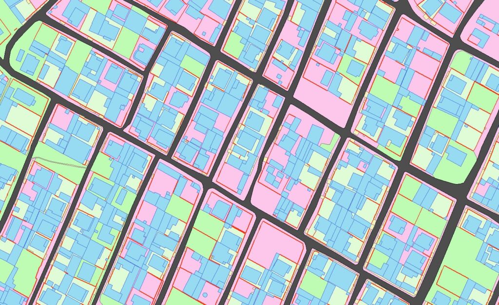
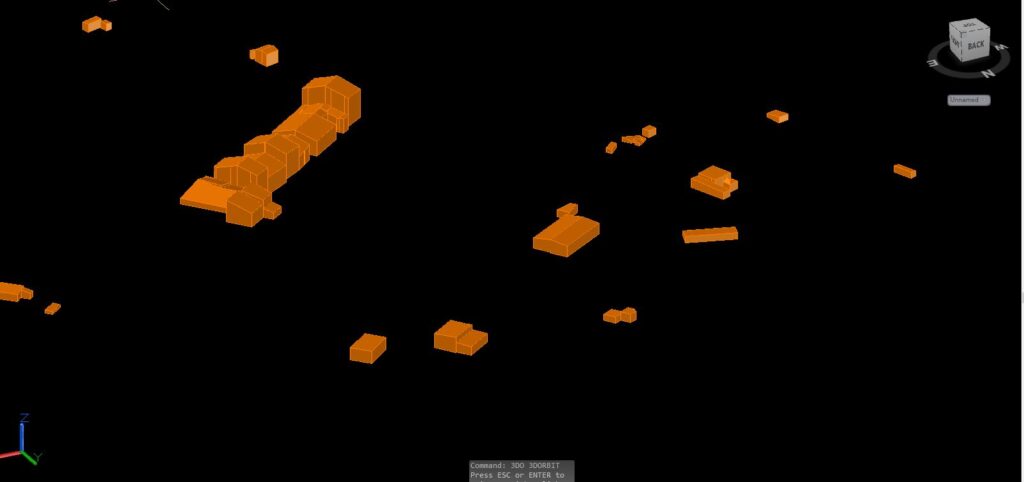
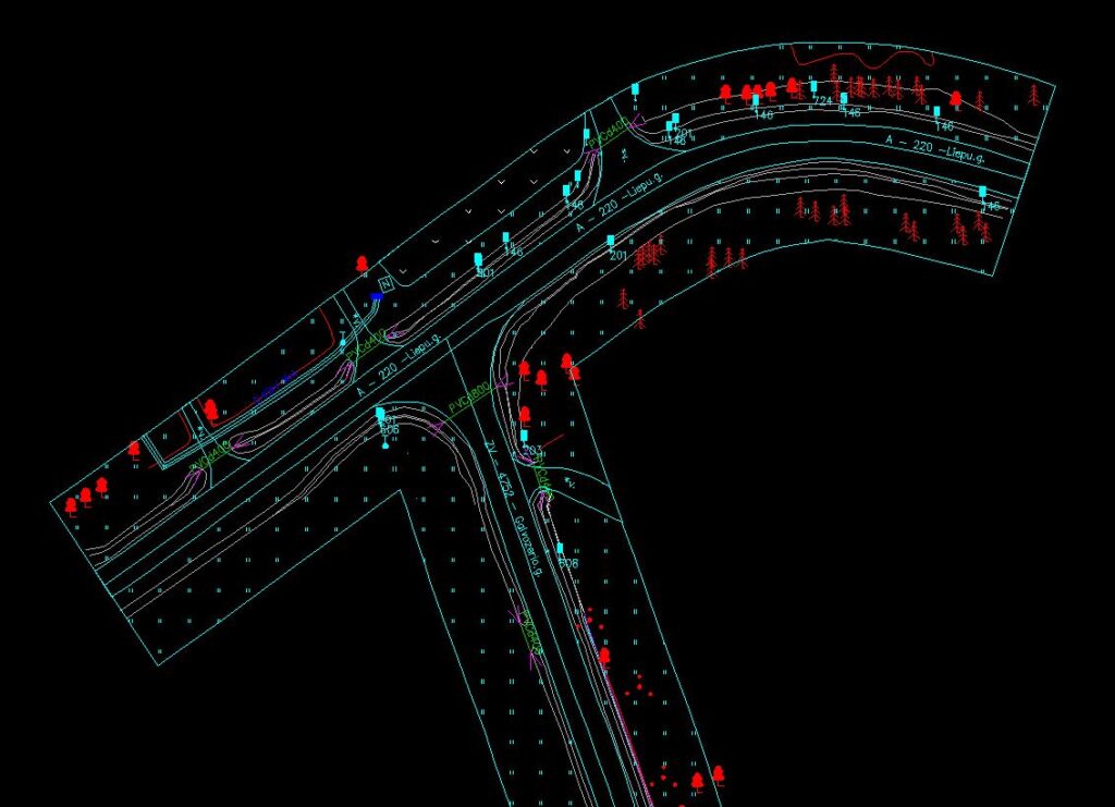
In the strictest sense, a GIS is a computer system capable of assembling, storing, manipulating, and displaying geographically referenced information, i.e., data identified according to their locations.
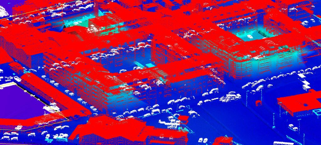
Light detection and Raning Or ‘Lidar’ is an Active Remote Sensing Technique that is used to gather spatial data. In it’s most basic form , Lidar uses a Laser and a Sensor to determine the Distance between an object and the lidar system
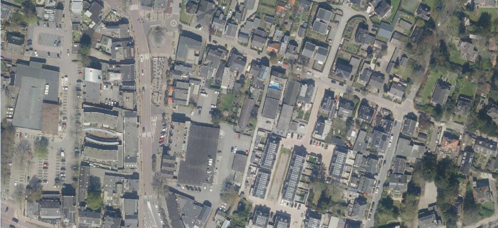
An orthophoto is an aerial photograph that has been geometrically corrected or ‘ortho-rectified’ such that the scale of the photograph is uniform and utilised in the same manner as a map.
photogrammetry is a well-established technique for acquiring dense 3D geometric information for real-world objects from stereoscopic image overlap and has been shown to have extensive applications in a variety of fields
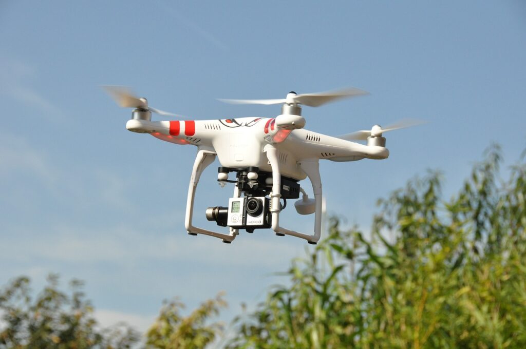
Drone services, also known as unmanned aerial vehicle services, is the emerging market for services built around flying robots that can be remote-controlled or flown autonomously using software-controlled flight plans in their embedded system.
Mobile LiDAR System is an emerging technology that combines multiple sensors. Active sensors, together with Inertial and Global Navigation System, are synchronized on a mobile platform (car, train, boat, etc.) to produce an accurate and precise geospatial 3D point cloud.
